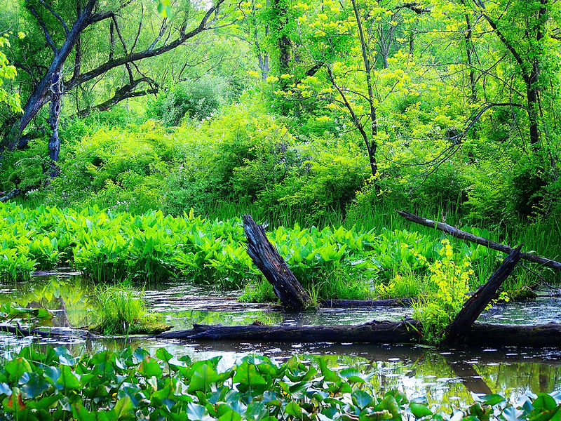
Wetland determinations and Delineations
The Flickinger Group knows that land is expensive, don't throw it away. A wetland Delineation, based upon knowledge and experience; that is accurate, conservative and defensible; is today, the foundation of a successful project.
Wetland boundary "determinations" are the fundamental basis of our work, whether Routine or Comprehensive.
Firstly we must determine the limits of Federal and State Jurisdiction, then mark that location, often with a signature ribbon.
These points are then located utilizing Differential GPS, or conventional survey and mapping methodologies.
The field information is then collected processed and incorporatyed into Wetland Delineation Maps. These maps are created in Auto Cad or Arc Info, depending upon the users preference.
Data sheets incorporating all pertinent information of the determining criteria must accompany the Delineation in a report form for submittal to the regulatory agencies

Flickinger Geoservices Group
Wetland & Development Consulting
Flickinger Geoservices Group provides all the services necessary for Project Authorization and Entitlement. Beginning with and not limited to: Wetland Delineations, Permitting, Agency coordination, determinations of Waters of the U.S. their extant, determinations of Significant Nexus, Ecological and Geographical problem solving, We know local ordinances and state and national laws, regulations, guidance and policies.
30 years ago we began. Working on 100's of developments a year, We've been witness to change, we haven't seen everything related to Wetlands & Development, just an awful lot of it.
There! That's it, that's all, which is plenty, as you will learn.
Mapping, well that's the main thing, the bread & butter so to speak, technically called "Wetland Delineations". It is all about wetland boundary determinations and the necessity of accuracy and professional interpretation.
Then we use land based DGPS, aerial analysis and conventional survey techniques where appropriate . From Mapping level to Survey grade, we can provide exactly the level of study you need, and not what you don"t.
On-site additional services include, but are not limited to: subsurface testing of soil types. vegetative taxonomy, drainage analysis, and enlightening walks with a knowledgeable and friendly wetland consultant.
Hand holding, really? yes, a shoulder to cry on? well perhaps, we don't expect you to understand wetlands and the regulatory entanglement that is the Clean Water Act, National Environmental Policy Act, Endangered Species Act, National Historic Register and Cultural Resources. Or local things like wetland setbacks, storm-water retention, Water quality Basins, riparian corridor ordinances and other local regulations; that's our job, but with so much on the line we offer an ear, we listen, we don't let go of what we do after 5:00. Although there are times we wish we could.
Any company can say the following:
"Blah Blah Blah...offers a wide range of consulting services with the necessary tools and expertise to help grow your business. We partner with our clients from start to finish, focusing on their needs while producing new ideas, developing effective strategies and designing high quality and scalable solutions. Contact us to learn more".
Because that's what it said on the boilerplate for doing this website.
We wrote everything else, call if you need us. (330) 931-9124
DISCRETION
Not so much a service, to us it is an obligation. 'Nuf said.
Flickinger Geoservices Group / Services
Discover Our Expertise

Wetland delineations
already talked about it, move on
.jpg)
Strategic development Consulting
You have to plan, current needs, site conditions, future impacts, avoidance, site management, save money now, or later, we have over 30 years of experience, a lot more counting our life history, we haven't seen it all, yet, but we know an awful lot.

Wetland Categorization
Determining the Category or Quality of a wetland is often just as important as the size and location of the wetland. In Ohio The ORAM or Ohio Rapid Assessment Method, is the process used by far the most often. Rapid is a general term, but there are others such as VIBI which are far more complicated.

Mitigation/ Stream and Wetland Design
Costly, yes. The agencies prefer Banking Credits or Fee-in lieu, where these alternatives are unavailable our wetland design history is second to none. We can also be of extrordinary help in dealing with the often excessive mitigation requirements mandated by the regulatory agencies. Stream mitigation can be especially excessive for the proposed impacts, we pursue sensible and rational results. Your money matters.
Our Projects
Flickinger Geoservices Group believes strongly in our client's privacy, Feel free to ask us about what we have done, I'm very proud of our project history


